Property Details
Property Description
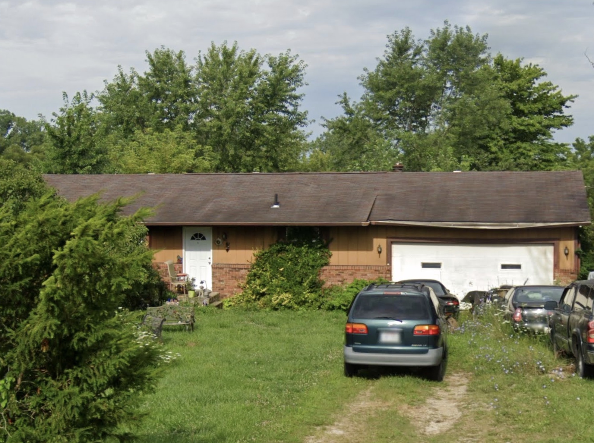
*** This is a foreclosure situation. Property being offered by Private Selling Officer per the authorities granted in Ohio Revised Code 2329.152 . Information and photographs provided have come from public sources and is believed to be accurate but is not guaranteed. Buyers are responsible for conducting their own due diligence to confirm property details before bidding. List Agent has not physically viewed the property and does not warrant information provided including, but not limited to, property condition. Due to the nature of the sale, interior inspections are not allowed. Cash sale only. The auction is subject to postponement and cancellation. No financing. *** This is a foreclosure situation. Property being offered by Private Selling Officer per the authorities granted in Ohio Revised Code 2329.152 . Information and photographs provided have come from public sources and is believed to be accurate but is not guaranteed. Buyers are responsible for conducting their own due diligence to confirm property details before bidding. List Agent has not physically viewed the property and does not warrant information provided including, but not limited to, property condition. Due to the nature of the sale, interior inspections are not allowed. Cash sale only. The auction is subject to postponement and cancellation. No financing.
Legal Description
Situated in the Township of Montville, County of Medina and State of Ohio: And known as being part of Lot 56, bounded and described as follows: Beginning at an iron pin found at the intersection of Good Road (County Highway 120) and Guilford Road (County Highway 41); thence North 00 degrees 04' 15" East along the centerline of Guilford Road a distance of 920.21 feet to a railroad spike set at the true place of beginning of the parcel herein described; thence South 89 degrees 35' 00" West a distance of 666.51 feet to an iron pin set, said line passing through an iron pin set 30.00 feet from the centerline of Guilford Road; thence North 00 degrees 04' 15" East a distance of 175.00 feet to an iron pin set; thence North 89 degrees 35' 00" East a distance of 666.51 feet to a railroad spike set in the centerline of Guilford Road, said line passing through an iron pin set 30.00 feet from said centerline; thence South 00 degrees 04' 15" West along the centerline of Guilford Road a distance of 175 feet to the true place of beginning and containing within said bounds 2.6775 acres of land, more or less, but subject to all legal highways, as surveyed by James R. Bock, Reg. Surveyor No. 6051 and Carl M. Clark, Reg. Surveyor No. 6358 of Bock & Clark, Inc. in October, 1977.
Location
Foreclosure Details
Conditions of Sale
Auction By
