Property Details
Property Description
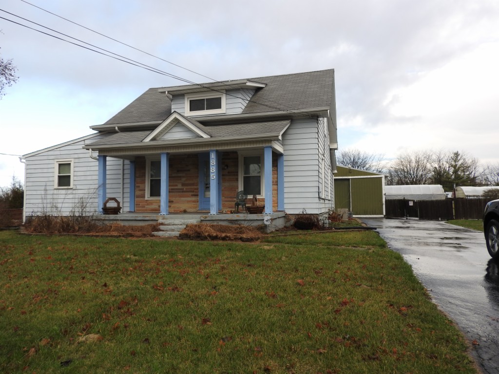
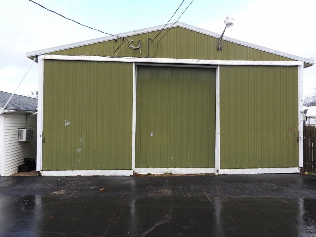
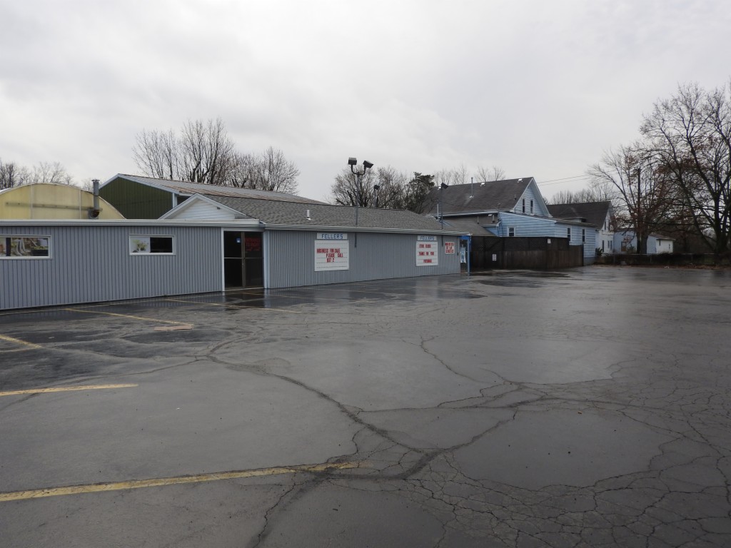
Formerly location of Fellers Market and Greenhouse. Property is a multi-parcel mixed use site including a 3 bedroom, 2 bath house n need of some repair plus 4 additional structures; a single story measuring approx. 2500 SF+/-, plus a 30x30 steel storage building with overhead door, and 2 large greenhouses all on 1.181 +/- acres. Parcel numbers M60103209-0044 and M60103209-0115. Zoned General Business. Property is available for inspection by appointment.
Legal Description
Situate in the Southwest Quarter of Section 35, Town 5, Range 5 East, City of Clayton, Montgomery County, State of Ohio, and being all of the 0.78 acre tract conveyed to Jean R. and Thelma Ulrich by deed recorded in Deed Book 1377, Page 363, and being 50 feet taken by parallel lines off the South side of the 3.42 acre tract conveyed to said Jean R. and Thelma Ulrich by deed recorded in Deed Book 1377, Page 365, both of the Montgomery County Deed Records, and being more fully bounded and described as follows: Beginning at an iron pin at the intersection of the centerline of Taywood Road and Westbrook Road, at the Southwest corner of said Section 35, and at the Southwest corner of said Ulrich 0.78 acre tract. Thence with the centerline of said Taywood Road, with the West line of said Section 35, and with the West line of said Ulrich 0.78 acre and 3.42 acre tracts, Due North, 245.0 feet to a railroad spike, said corner being Due North, 50.0 feet from the Southwest corner of said Ulrich 3.42 acre tract; Thence parallel to the South line of said Section 35, and parallel to and 50 feet North of the South line of said Ulrich 3.42 acre tract, North 89 deg. 45' 20" East, 350.0 feet to an iron pipe in the East line thereof, and in a West line of the 52.546 acre tract conveyed to Gerald S. Office, et al, by deed recorded in Deed Book 1831, Page 745, of the Montgomery County Deed Records; Thence Parallel to the West line of said Section 35, with the West line of said Office 52.546 acre tract, and with the East line of said Ulrich 3.42 acre tract, Due South, 50.0 feet to an iron pipe at the Southeast corner thereof, said corner also being the Northeast corner of the 0.4 acre tract conveyed to Ottis W. and Betty M. Myers as recorded In Microfiche 73-573E10, of the Montgomery County Deed Records; Thence parallel to the South line of said Section 35, with the South line of said Ulrich 3.42 acre tract, with the North line of said Myers 0.4 acre tract, and continuing with the North line of the 0.4 acre tract conveyed to Gerry I. Forsch by deed recorded in Microfiche 71-383E11, of the Montgomery County Deed Records, South 89 deg. 45' 20" West, 176.0 feet to an iron pipe at the Northeast corner thereof, and at the Northeast corner of said Ulrich 0.78 acre tract; Thence parallel to the West line of said Section 35, with the West line of said Forsch 0.4 acre tract, and with the East line of said Ulrich 0.78 acre tract, Due South, 195.0 feet to a railroad spike at the Southeast corner thereof, in the centerline of said Westbrook Road, in the South line of said Section 35, and at the Southwest corner of said Forsch 0.4 acre tract; Thence with the centerline of said Westbrook Road, with the South line of said Section 35, and with the South line of said Ulrich 0.78 acre tract, South 89 deg. 45' 20" West, 174.0 feet to the point of beginning. Containing 1.181 acres, more or less, subject to all legal highways and easements of record. PPN: M60103209-0115 and M60103209-0044 Commonly known as: 1885 Westbrook Road, Dayton, OH 45415
Location
Foreclosure Details
Conditions of Sale
Auction By


