Property Details
Property Description
3 BR / 2 BA Single Family Home w/ containing 1,652 Sq Ft +/- built in 1974. Appraised $ 57,000.00 2/3 Min bid $ 38000.00. Property must sell for 2/3 of appraised value. --- Online Only Offering with bids ending mid-day. See auction details for exact time. 5% buyers premium will apply over and above high bid. Please read terms and conditions for details related to purchasing foreclosure property. Brokers welcome. Contact PSO for broker registration and co-op-info. Interior showings are not available. *** Info available has come from public sources. Auctioneer has not been granted access to the to the property.
Legal Description
Situated in the Township of Crane, County of Paulding and State of Ohio, to-wit: A parcel of land situated in the Northeast Quarter (1/4) of the Northeast Quarter (1/4) of Section 19, T3N, R2E, Crane Twp., Paulding Co., OH, more particularly described as follows: Commencing at an iron pipe found at the Northwest corner of the Northeast Quarter (1/4) of the Northeast Quarter (1/4) of said Section 19; thence along the North line of the Northeast Quarter of said Sec. 19, N 89 deg. 27' 20" E, a distance of one hundred seventy-nine and 98/100 (179.98) feet to a nail found, said point being the true point of beginning of the parcel herein described; thence continuing along said North line N 89 deg. 27' 20" E a distance of one hundred eighty-two and 82/100 (182.82) feet to a P.K. nail found; thence S 00 deg. 09' 59" W a distance of twenty-five and 00/100 (25.00) feet to an iron pin found; thence continuing S 00 deg. 09 59" W a distance of three hundred fifty-six and 98/100 (356.98) feet to an iron pin and cap set this survey; thence S 89 deg. 27' 20" W, a distance of one hundred forty-two and 38/100 (142.38) feet to an iron pin and cap set this survey; thence N 12 deg. 23' 45" W a distance of one hundred eighty-five and 92/100 (185.92) feet to an iron pin and cap set this survey; thence N 00 deg. 09' 59" E a distance of one hundred seventy-five and 00/100 (175.00) feet to an iron pin found; thence continuing N 00 deg. 09' 59" E a distance of twenty-five and 00/100 (25.00) feet to the point of beginning. Said parcel contains 1.519 acres of land, more or less, subject to all legal road rights-of-way, zoning regulations, restrictions and easements apparent or of record. (The above description is based on a survey made by Douglas E. Dunakin, R.S. #7498, on June 9, 2001. All bearings are assumed.)
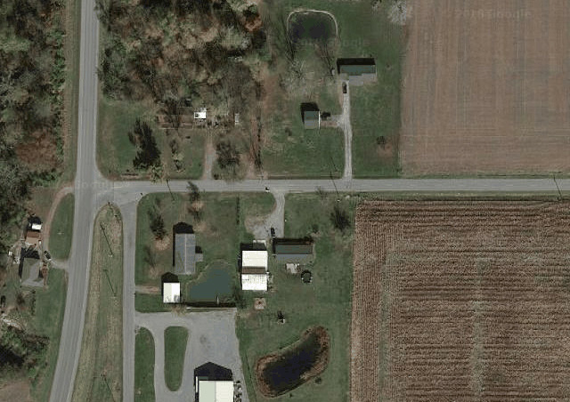
Location
Foreclosure Details
Click the link to review the Conditions of Sale for this auction.
Conditions of SaleAuction By
